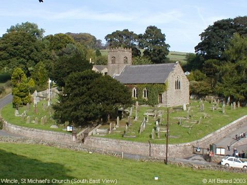
St Michael's Church, Wincle (SE View)
WINCLE (or Winkel), is a township, consisting principally of a number
of small farms, scattered over a mountainous district, stretching to the
verge of the county adjoining Staffordshire, from which it is separated
by the Dane, the valley of which and the surrounding hillsides, being
thickly wooded, afford some of the most picturesque scenery in the county.
It is about 3 miles north east from Bosley station on the Churnet Valley
section of the North Staffordshire railway and 6 miles south east from
Macclesfield, in the Macclesfield division of the county, petty sessional
division of Prestbury, hundred, union and county court district of
Macclesfield, and was formed into a district chapelry 10 Aug 1869, in
the rural deanery and archdeaconry of Macclesfield and diocese of Chester.
By Local Government Board Order No. 22,378 a detached part of Wincle
township was in 1888 annexed to Wildboarclough. (Description provided by Rosemary Lockie)
Image contributed by Alf Beard on 24th September 2003.
|
||
