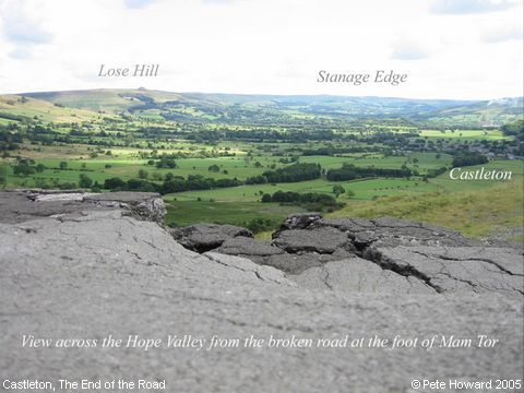
The End of the Road, Castleton
The first trans-pennine routeway across Mam Tor was laid in 1811 as an alternative to the Winnats Pass, but the roadway was finally abandoned after a catastrophic landslide in 1977. The after-effects can be seen here, and travellers will be happy to know that the two approaches - from the Chapel en le Frith side and the Castleton side both have ‘Road Closed’ signs. Traffic now travels once more via the The Winnats. ‘Lose Hill’ is where a retreating ancient army lost a battle to the forces on nearby ‘Win Hill’ (honestly!) (Information provided by Rosemary Lockie)
Image contributed by Pete Howard on 15th May 2005.
|
||
