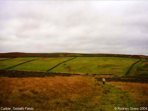
Siddalls Fields, Curbar
“I can't quite believe they are still there, up
on the moors, looking as pristine as they must have done when first laid
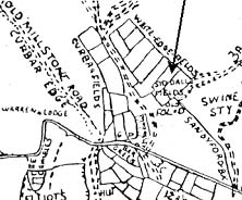
out and enclosed.” This photograph features Cathy Goldthorpe (Rodney Shaw's second-cousin) walking towards the fields. The map shows their location beside the old road crossing through Curbar Gap towards Chesterfield. They would be on your left if you were travelling along that road. The old Millstone Road is now a public footpath traversing the Curbar and Froggatt Edges. Siddall Fields have been chosen as an illustration of the Enclosure of Commons in the early 18th century by the webmaster of “Peakscan” (Peak District Landscapes)[1] who has also very kindly provided Rodney with the map, below.
(Information provided by Rosemary Lockie) Reference
Image contributed by Rodney Shaw on 27th September 2004.
|
|||

